
Rain and Wind Still To Come
Rain is coming. The weak to moderate atmospheric river that has been stalled just to our north for the past couple of days will add moisture and a…
Continue Reading
Rain is coming. The weak to moderate atmospheric river that has been stalled just to our north for the past couple of days will add moisture and a…
Continue Reading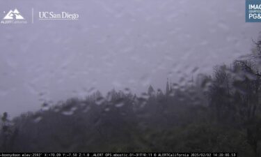
Rain is coming, I promise! The weak to moderate atmospheric river that has been stalled just to our north for the past couple of days will add…
Continue Reading
Sunday should be a bit drier with peeks of sun but isolated rain showers still possible for the Central Coast. But rain chances will return for much…
Continue Reading
Rainy season returns! At atmospheric river will reach the West Coast on Friday and continue to hose down the coast through mid-week next week. The…
Continue Reading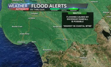
Rainy season returns! At atmospheric river will reach the West Coast on Friday and continue to hose down the coast through mid-week next week. The…
Continue Reading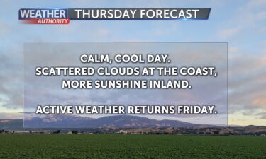
Expect another cool day on Thursday with a mix of high and low clouds and a stable marine layer. High clouds will increase in advance of a weather…
Continue Reading
Expect another cool day on Thursday with a mix of high and low clouds and a stable marine layer. High clouds will increase in advance of a weather…
Continue Reading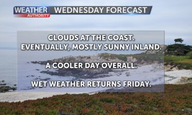
Cool conditions will continue for the next couple of days with marine layer clouds and light onshore flow. The blocking ridge of high pressure that…
Continue Reading
Cool conditions will continue for the next couple of days with marine layer clouds and light onshore flow. The blocking ridge of high pressure that…
Continue Reading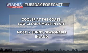
Cold air settles into the region for the first part of the week. Flow becomes more northwesterly Tuesday into Wednesday which will help develop a…
Continue Reading
Cold air settles into the region for the first part of the week. Tuesday morning’s low temperatures will likely be the coldest of the week with…
Continue Reading
Cold air will settle in across the region in the wake of this weekend’s storm system. The low will slowly move east out of Southern California as…
Continue Reading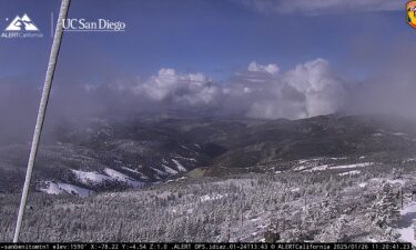
Cold air will settle in across the region in the wake of this weekend’s storm system. The low will slowly move east out of Southern California as…
Continue Reading
Back to reality this weekend! Cooler air, rain and snow chances arrive for Saturday and Sunday. Get the warm jackets out and put away the shorts and…
Continue Reading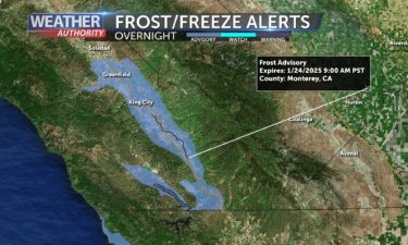
Friday will be a transition day from warm, dry days to cooler, unsettled weather. An upper level low will move in from the northeast for the weekend…
Continue Reading
One more warm afternoon before we cool down into the weekend. The dominating ridge of high pressure over the region will sink southward, passing over…
Continue Reading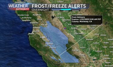
One more warm afternoon before we cool down into the weekend. The dominating ridge of high pressure over the region will sink southward, passing over…
Continue Reading
Cold nights and warm days will continue for the next couple of days under full sunshine. High pressure remains in control over the west coast, and…
Continue Reading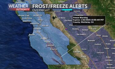
Cold nights and warm days will continue for the next couple of days under full sunshine. High pressure remains in control over the west coast, and…
Continue Reading
Light offshore flow will keep skies mostly sunny and conditions dry through midweek. We’ll see cold mornings but warm afternoons—peaking on…
Continue Reading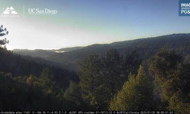
Light offshore flow will keep skies mostly sunny and conditions dry through midweek. We’ll see cold mornings but warm afternoons—peaking on…
Continue Reading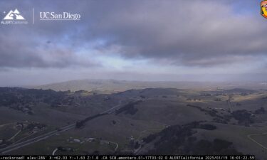
Winds shift offshore Monday, which should clear out the marine layer clouds and allow for temperatures to warm back up into the 60s at the coast.Air…
Continue Reading
Expect another chilly night tonight with a Frost Advisory in effect for inland locations with marine layer clouds and light onshore winds. Coastal…
Continue Reading
Expect another cooler day on Saturday with marine layer clouds and light onshore winds. Some warming with offshore winds possible into the work…
Continue Reading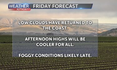
Friday brings changes to our weather pattern as winds shift back onshore and help push low clouds and some fog back into the forecast. Inland…
Continue Reading
Changes come into Friday as winds shift back onshore and help push low clouds back into the forecast. Cooler weather can then be expected through the…
Continue Reading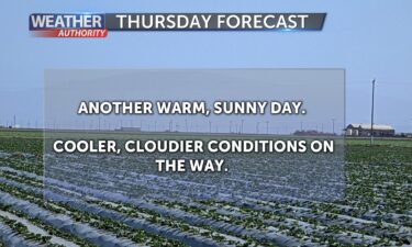
Finally a pattern change in sight! Although, you might not like it! We’ve been in a general offshore pattern for the past few days which has kept…
Continue Reading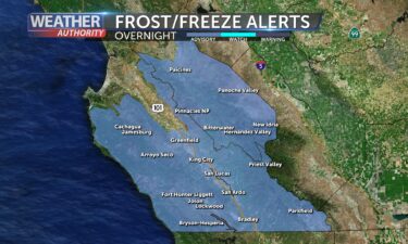
Finally a pattern change in sight! Although, you might not like it! We’ve been in a general offshore pattern for the past few days which has kept…
Continue Reading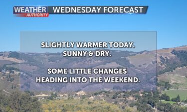
Our weather pattern remains blocked up, preventing our typical wet weather systems from reaching the West Coast. Cold mornings, mild afternoons, and…
Continue Reading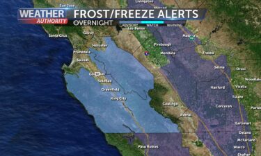
Our weather pattern remains blocked up, preventing our typical wet weather systems from reaching the West Coast. Cold mornings, mild afternoons, and…
Continue Reading
Cold mornings, mild afternoons, and extremely dry weather will continue for the next few days (at least). Our weather pattern remains blocked up,…
Continue Reading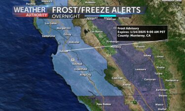
Cold mornings, mild afternoons, and extremely dry weather will continue for the next few days (at least). Our weather pattern remains blocked up,…
Continue Reading
Dry, mostly sunny weather persists. Afternoon highs will be comfortable, remaining above average for this time of year. But, mornings will continue…
Continue Reading
Dry weather persists. An “inside slider” drops down the back side of the big Pacific High overnight bringing a few passing clouds, but that’s…
Continue Reading
Dry weather will prevail for the weekend but winds will pick up and some chilly nights ahead. More sunshine but clear inland will bring a chance of…
Continue Reading
Dry weather will continue on Friday, though we’ll have a few wind shifts to deal with. A brief burst of southerly flow will potentially bring some…
Continue Reading
Dry weather will continue on Friday, though we’ll have a few wind shifts to deal with. A brief burst of southerly flow will potentially bring some…
Continue Reading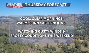
Keep those sunglasses handy! There will be plenty of sunshine to enjoy over the next several days. Mornings will be cool, but afternoons warm with…
Continue Reading
Cool mornings and warm afternoons can be expected into the foreseeable future as high pressure blocks our usually active January storm track off to…
Continue Reading
With a dry air mass in place, expect cool mornings and warm afternoons for the next few days. Conditions will be pleasant across the Central Coast,…
Continue Reading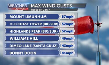
Offshore winds taper off overnight, leaving us in a dry air mass with cool mornings and warm afternoons for the next few days. Note: Gusty offshore…
Continue Reading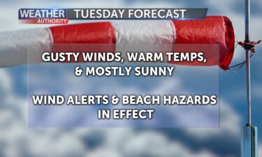
A major wind storm has developed across portions of the state. We’ll only catch the edge of it here around the Monterey Bay Area. An area of low…
Continue Reading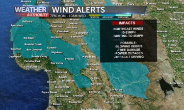
A major wind storm will develop across portions of the state over the next few days. We’ll only catch the edge of it here around the Monterey Bay…
Continue Reading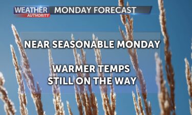
Dry conditions are expected for the next week as our weather pattern will be characterized by dominating high pressure and offshore winds. Initially,…
Continue Reading
Sunday will be a warmer day with dry and relatively quiet conditions. Sunday will be a bit warmer with more sun. Surf will be elevated this weekend…
Continue Reading
Dry conditions are expected for the next week as our weather pattern will be characterized by dominating high pressure and offshore winds. Initially,…
Continue Reading
Colder air behind a cold front that brought the rain is now filling into the local region so get ready for a chilly night and Saturday morning! Temps…
Continue Reading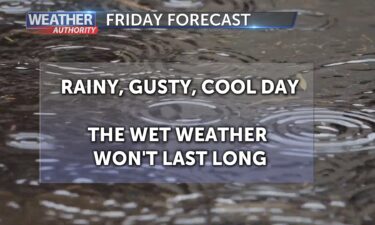
Rain returns to the Monterey Bay Area on Friday as a frontal system moves through. The weak warm front will arrive first just after dawn with some…
Continue Reading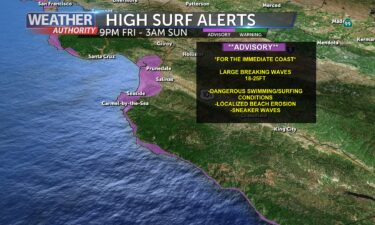
Rain returns to the Monterey Bay Area on Friday as a frontal system moves through. The weak warm front will arrive first just after dawn with some…
Continue Reading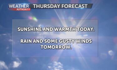
Temperatures will warm on Thursday as high pressure amplifies over the region. Warming will be aided by offshore flow early in the day, with many…
Continue Reading