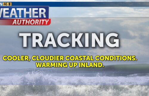
Clouds and Cooler Temps Have Arrived
Friday brings changes to our weather pattern as winds shift back onshore and help push low clouds and some fog back into the forecast. Inland locations, however, will continue to be mostly sunny. Cool weather can then be expected through the weekend, with more sunshine by Sunday.
Air Quality: Good to Moderate
Friday: Partly to mostly cloudy on the coast, otherwise mostly clear. Much cooler with coastal highs in the 50s and 50s to low 60s inland. Windy up valleys late in the day. Low clouds will increase, pushing into nearby valleys late.
Overnight: Low clouds will fill the bay and nearby valleys - becoming mostly cloudy. Fog likely in these areas with temps in upper 30s to mid 40s. Light winds. the Far interior locations including, sheltered valleys and mountains, will be under mostly clear skies. Expect cold and frosty conditions here, with lows in the upper 20s to mid 30s. Light winds.
**FROST ADVISORY**
… for interior mountains and valleys Monterey and San Benito Counties in effect from 1am to 9am.
*Temperatures as low as 34 will result in frost formation.
*Cold conditions will be hazardous to sensitive populations such as unhoused individuals. Cold conditions can lead to hypothermia with prolonged exposure.
*Take steps now to protect tender plants from the cold.
Saturday: Scattered low clouds near the coast, a bit more sunshine expected by the afternoon. Inland areas will be mostly sunny after low clouds/ fog clear by mid morning. Highs a touch warmer with mid to upper 50s to low 60s. Calm, but cool northwest winds.
Extended: Onshore flow will keep temperatures cooler into the weekend, with most areas in the 50s to low 60s. Slow warming can be expected into next week as high pressure rebuilds over the West Coast. There is some wind potential early in the week, which we’ll keep an eye on. In the meantime, a return to wet weather still looks to hold off until after the 25th or so.
*Note: Any alerts from the National Weather Service in Monterey will be noted in italics above. Alerts may be edited for brevity or local clarification
-----------------------------------------------------------------------
This week's normal temperatures:
--COASTAL CITIES--
LOW: 42ºF
HIGH: 60ºF
--INLAND CITIES--
LOW: 37ºF
HIGH: 61ºF
--------------------------------------------------------------------------
-The outlook from the Climate Prediction Center for January 25th – 31st calls for the likelihood of BELOW normal temperatures and near normal precipitation.
- ENSO (El Niño/La Niña) STATUS: La Niña Advisory
- ENSO Forecast: La Niña persists into spring, then transitions to neutral by summer.
- Area drought status: Abnormally dry for San Benito County, northeastern Monterey County and eastern Santa Clara County. Drought-free elsewhere
- Monterey Bay Sea Surface Temperature as of January 16th : 53.0ºF (avg of 7 buoys) [January Average: 54.7ºF]