Cooler, Cloudier Coast – Warmer, Sunnier Inland
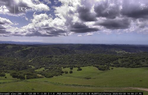
The weather forecast this week will be a story of subtleties. With storm season in the rear view, the storm track will remain well to our north in the near and possibly long future. In the meantime, those passing systems to our north can still have some impacts on our weather. The variations between high and low pressure can have a big influence on the depth of the marine layer—variations in low level moisture can have a big influence on how much cloudcover we see on the coast. Temperatures aloft warm 2-3ºF on Monday and many inland areas will feel that warm-up! On the coast, however, we’ll see a different story play out. The subtle increase in pressure aloft will help stabilize the marine layer and slightly higher moisture levels in the west-northwesterly surface flow will mean for a cooler, cloudier day on the coast. A trough passing to our north Tuesday will level inland temperatures, but will subtly increase northwest flow and subtly destabilize the marine layer Tuesday, so it should be slightly sunnier and slightly warmer at the coast.
AIR QUALITY: Good
Monday - Memorial Day: Mostly cloudy on the coast with partial clearing on the north side of the bay. Mostly sunny inland. Expect coastal highs in the upper 50s to mid 60s—warmest on the north side of the bay—and mid 60s to mid 80s inland. Breezy west-northwesterly onshore winds, with gusty up-valley winds late in the day.
Overnight: Mostly cloudy at the coast, mostly to partly cloudy inland as low clouds fill back into the valleys. Patchy fog possible in the hills and damp valley floors, with patchy drizzle on the south/east sides of the bay. Seasonable lows in the upper 40s to low 50s for coastal cities, low to mid 40s for far interior locations.
Tuesday: Becoming partly cloudy on the coast with highs in the upper 50s to upper 60s—warmest on the north side of the bay—and becoming mostly sunny inland with highs in the mid 60s to mid 80s. Breezy west-northwesterly onshore winds, with gusty up-valley winds late in the day. Low clouds thicken late.
Extended: High pressure rebuilds Wednesday through the end of the week, warming inland temperatures back to normal Wednesday and above Thursday/Friday. The shallow marine layer and dryer northwest flow will also mean for coastal warming with seasonable temps Thu/Fri. Weak troughing on the Wet Coast this weekend will then cool us back down a bit, but at the moment, only by a few degrees.
*Note: Any alerts from the National Weather Service in Monterey will be noted in italics above. Alerts may be edited for brevity or local clarification (in parenthesis).
-----------------------------------------------------------------------
This week's normal temperatures:
--COASTAL CITIES--
LOW: 51ºF
HIGH: 67ºF
--INLAND CITIES--
LOW: 48ºF
HIGH: 78ºF
--------------------------------------------------------------------------
-The outlook from the Climate Prediction Center for June 3rd - 9th calls for the likelihood of ABOVE normal temperatures and ABOVE normal precipitation.
- ENSO (El Niño/La Niña) STATUS: El Niño Advisory, La Niña Watch
- ENSO Forecast: Transition from El Niño to neutral soon and then to La Niña by summer.
-Area drought status: Currently drought-free
-Monterey Bay Sea Surface Temperature* as of May 27th : 56.4ºF
(Historic May AVG: 55.8ºF)
*average of three buoys


