More Showers, Chance of T-Storms, and a Tropical System
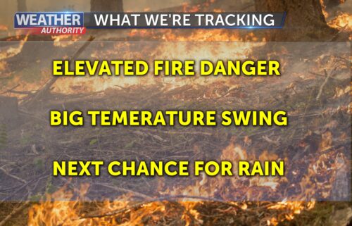
An area of low pressure offshore will continue to draw in monsoonal moisture for the next few days. This will keep a chance of showers and thunderstorms in the forecast through Friday or so. The highest probability will be over the inland mountains, but some showers may make their way toward the coast Thursday and Friday mornings. We’ll get a bit of a break on Saturday. After an initial cool-down Thursday into Friday, temperatures will swing back upward Saturday. Then, things get really interesting. We are watching the development of a tropical cyclone off of Mexico. Many computer models are bringing (the remnants of) the cyclone into California on Monday. Some tropical moisture may also precede it on Sunday. There are a lot of interesting scenarios early next week, but all are dependent on where the cyclone actually tracks. There are some scenarios where we get heavy rain locally, some with lightning, and some with warm, humid conditions. We’ll be watching closely, so make sure to stay tuned to our forecast.
AIR QUALITY: Good
Wednesday: Low clouds retreat the coast and break up a bit. Mostly sunny elsewhere with afternoon cumulus buildup, especially over the Diablo Range. Isolated showers & thunderstorm over the mountains of southern San Benito County. Coastal highs in the 60s to mid 70s with low 80s to around 107ºF inland. Westerly onshore winds becoming breezy at the river mouths and then stronger for the valleys late in the day.
Overnight: Low clouds fill back in around the coast and perhaps a bit deeper into the inland valleys. Patchy drizzle. Lows in the 50s to low 60s.
Thursday: Becoming partly cloudy on the coast and mostly sunny inland. There is a slight chance of showers across the area into Thursday afternoon with isolated thunderstorms over the inland mountains. Slightly cooler with coastal highs in the 60s to low 70s and 80s to around 102ºF inland.
Extended: Monsoon moisture will still linger on Friday which could help initiate a few more showers and maybe a thunderstorm over the inland mountains. The cool-down will continue and low clouds may be a little stickier on the coast. Dryer air arrives Saturday which should kill any storm chances and it will also allow us to warm up a bit. By Sunday, things get a little more murky as by then, the leading edge of an expanse of tropical moisture may arrive depending on the track of a future tropical cyclone.
-------------------------------------------------------------------------
This week's normal temperatures:
--COASTAL CITIES--
LOW: 55ºF
HIGH: 69ºF
--INLAND CITIES--
LOW: 53ºF
HIGH: 86ºF
--------------------------------------------------------------------------
-The outlook from the Climate Prediction Center for August 23rd – 29th calls for the likelihood of ABOVE normal temperatures and ABOVE normal precipitation. Note: Little to no precipitation typically falls this time of year.
- ENSO (El Niño/La Niña) STATUS: El Niño Advisory
- Forecast: Moderate to strong El Niño expected this winter.
-Area drought status: Currently drought-free