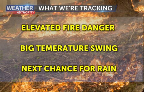
Low Clouds Will Stick to the Coast, Inland Different Story
Overall “troughiness” will continue to our north into tomorrow, then a ridge of high pressure will build in Friday into the weekend sending inland temperatures back to or above normal. Coastal clouds will lower due to the compression of the marine layer making for more likely this weekend. Some warming will then be possible on the coast, but highs look to remain at or below normal. No rain expected within the next few days outside of any coastal drizzle.
AIR QUALITY: Good to Moderate
Thursday: Becoming mostly cloudy on the coast with partial clearing on the north side of the bay. Cool, with highs in the upper 50s to mid 60s. Inland areas will clear to mostly sunny skies in the afternoon and will be mild with highs in the mid 60s to mid 70s. Northwesterly onshore winds will be stronger in the afternoon and evening on the coast and into the valleys.
Overnight: Low clouds will push into the valleys by late evening, giving us a blanket of gray skies by sunrise. A chance of light drizzle, and patchy fog is possible. Lows will be in the low to mid-50s at the coast, mid to upper 40s in the mountains and sheltered valleys.
Friday: Becoming partly cloudy on the coast with clearing on the north side of the bay and sunny inland during the afternoon. Slightly warmer with coastal highs in the upper 50s to upper 60s and 70s to low 80s inland. Northwesterly onshore winds will be lighter at the coast but will get stronger for inland valleys late in the day.
Extended: High pressure will strengthen over the region into the weekend which will push inland temperatures back up to normal and perhaps even above. The marine layer will be compressed, so fog will become a problem on the coast and in the valleys into the weekend as well. Coastal temps will warm slightly but will likely remain slightly below normal. The latest model are looking a little more unsettled for next week with some moisture streaming in which could help generate a few showers.
-------------------------------------------------------------------------
This week's normal temperatures:
--COASTAL CITIES--
LOW: 51ºF
HIGH: 67ºF
--INLAND CITIES--
LOW: 48ºF
HIGH: 79ºF
----------------------------------------------------------------------------
-The outlook from the Climate Prediction Center for June 8th – 14th calls for the likelihood of BELOW normal temperatures and ABOVE normal precipitation.
- El Niño/La Niña STATUS: El Niño Watch
- Forecast: Neutral through the end of spring with El Niño developing this summer.
-Area drought status: Currently drought-free