Warming Up, But Not Quite Done With Rain Chances
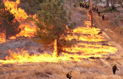
Dryer conditions are expected on Saturday. A building ridge to our north will help warm up temperatures in the coming days. A cut off area of low pressure just offshore will linger around, however, and continue to pump moisture into the region. We won’t really see much from this on Saturday, but Sunday and Monday have precipitation chances once again. Late Sunday, an area of rain and thunderstorms will move over the Sierra Nevada and drift east toward us as it dissipates. Typically in scenarios like this, we only get a light shower or two—and often times, only a few drips at best. That’s basically what I expect at this point. Monday may be a little more interesting as the moisture column is a bit deeper which could lead to isolated shower/thunderstorm development over the inland mountains—which also would drift east toward the coast while dissipating. Beyond Monday, generally warmer, dry weather is expected, though the air may feel humid at times.
AIR QUALITY: Good
Overnight: Low clouds slowly filling back in around the bay and nearby valleys. Patchy fog and drizzle. A few high clouds over head. Lows in the 50s.
Saturday: Partly cloudy on the coast with a few low clouds, then high clouds moving in from the east late. Coastal highs in the 60s to low 70s but warmer inland with upper 70s to mid 90s. Breezy westerly onshore winds at the coast becoming stronger for inland valleys late.
Sunday: Partly cloudy with increasing clouds and a chance of a shower late. Warmer with coastal highs in the mid 60s to mid 70s and 80s to upper 90s inland. Breezy westerly onshore winds at the coast becoming stronger for inland valleys late.
Extended: A chance for a thunderstorm over the inland mountains Monday, then dry for the rest of the week with partly cloudy skies and warm temperatures. Some cooling into next weekend.
-------------------------------------------------------------------------
This week's normal temperatures:
--COASTAL CITIES--
LOW: 55ºF
HIGH: 69ºF
--INLAND CITIES--
LOW: 53ºF
HIGH: 86ºF
--------------------------------------------------------------------------
-The outlook from the Climate Prediction Center for August 18th – 24th calls for the likelihood of ABOVE normal temperatures and near normal precipitation. Note: Little to no precipitation typically falls this time of year.
- ENSO (El Niño/La Niña) STATUS: El Niño Advisory
- Forecast: Moderate to strong El Niño expected this winter.
-Area drought status: Currently drought-free