It’s Too Bad Thursday Doesn’t Start With “Wind” Or We’d Have A Pun For You
WEATHER STORY
The weather pattern has remained fairly flat and progressive for the past few days. Weak weather systems have been moving past in the flow and while their light rains have remained to our north, we’ve experienced their continued influence on our winds. This will continue into the weekend with only weak ridging taking place in the flow. Temperatures will cool initially Thursday in the wake of the most recent weather system, but we’ll warm up (inland especially) into the weekend. The tail end of a weather system will scoot through the region on Monday and bring some rain to Northern California. At the moment, it looks like we may be too far south, but we’ll keep watching.
AIR QUALITY: GOOD
***GALE WARNING***
… from the National Weather Service in Monterey
… in effect until 3AM Thursday for the near coastal waters from Pigeon Point to Point Pinos
and in effect until 3AM Friday for the near coastal waters from Point Pinos to Point Piedras Blancas.
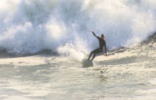
*Northwest winds 20 to 30 kt with gusts up to 40 kt and seas 8 to 13 feet at 10 seconds possible.
*Strong winds can cause hazardous seas which could capsize or damage vessels and reduce visibility.
Mariners should consider altering plans to avoid possible hazardous conditions. Remain in port, seek safe harbor, alter course, and/or secure the vessel for severe wind and seas.
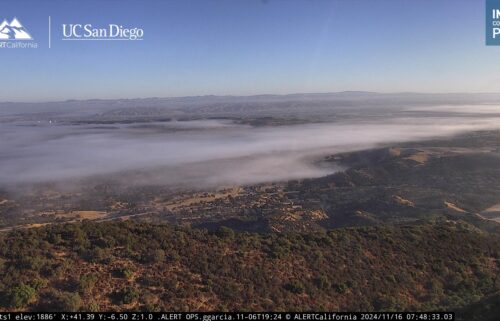
Overnight: Passing high clouds with some low cloudcover hugging the north/west slopes of the coastal ranges. Slightly cool with lows in the 40s on the coast and mid 30s to mid 40s inland. Breezy at times.
Thursday: Most of the high clouds should clear out and after the morning, the low clouds will follow suit. Winds will strengthen in the afternoon once again and get gusty for most areas. Cool, with highs in the upper 50s to mid 60s on the coast and 60s to around 70ºF inland.
Friday: A few low clouds in the morning, then mostly sunny and windy. Highs in the upper 50s to upper 60s on the coast and mid 60s to upper 70s inland.
Extended: Coastal temps will remain a bit cool this weekend with the wind picking up in the afternoons. Inland areas will warm to above normal levels through the weekend into next week, but you can still expect afternoon and evening winds in the valleys. A weak system passes by Monday with more wind—watching for rain chances.
-------------------------------------------------------------------------
This week's normal temperatures:
--COASTAL CITIES--
LOW: 48ºF
HIGH: 65ºF
--INLAND CITIES--
LOW: 43ºF
HIGH: 72ºF
----------------------------------------------------------------------------
-The outlook from the Climate Prediction Center for May 5th – 11th calls for the likelihood of near normal temperatures and near normal precipitation.
- El Niño/La Niña STATUS: La Niña Advisory
- Forecast: Weak La Niña into the Fall
-Area drought status: “Severe Drought” for most of the viewing area with the far eastern fringes of Santa Benito and southeastern corner of Monterey County in “Extreme Drought.”


