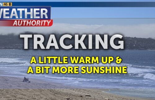
Slow Warm-Up
Expect a gradual warming trend across the region as we head toward next weekend. We won’t notice it much on the coast for the next few days as temperatures stay seasonable and low clouds remain a fixture of the forecast. But inland temperatures should steadily creep all the way through Saturday as high pressure slowly builds back in from the east. The ridge may also push some monsoon moisture into the region on Friday, so we’ll have to watch for dry lightning, though chances are low for the moment.
AIR QUALITY: Good to Moderate
Overnight: Low clouds for the coast and major inland valleys under a deep marine layer. Patchy drizzle possible and fog in the hills/passes. Expect lows in the 50s for most areas with a few higher valleys in the south dipping into the 40s.
Tuesday: Widespread low cloudcover early, becoming partly cloudy on the coast and mostly sunny inland during the afternoon. Slightly warmer with coastal highs in the mid 60s to upper70s and upper 70s to upper 90s inland. Breezy onshore winds becoming windy up valleys late in the day.
Wednesday: Widespread low cloudcover early, becoming partly cloudy on the coast and mostly sunny inland during the afternoon. Coastal highs in the mid 60s to upper70s and warming a bit inland with upper 70s to around 100ºF. Breezy onshore winds becoming windy up valleys late in the day.
Extended: Temperatures keep climbing as high pressure moves back to the west through mid-week. Highs should remain seasonable on the coast through Thursday, then above into the weekend. Inland areas will reach above normal levels by Tuesday and also keep climbing into the weekend. Can’t rule out a few high clouds at times as a thin layer of monsoon moisture streams around the high on Friday. We’re keeping an eye on a possible dry lightning threat, but the chances stay low. We may see another round of moisture next Monday.
*Note: Any alerts from the National Weather Service in Monterey will be noted in italics above. Alerts may be edited for brevity or local clarification (in parenthesis).
-----------------------------------------------------------------------
This week's normal temperatures:
--COASTAL CITIES--
LOW: 55ºF
HIGH: 70ºF
--INLAND CITIES--
LOW: 53ºF
HIGH: 85ºF
--------------------------------------------------------------------------
-The outlook from the Climate Prediction Center for August 6th – 12th calls for the likelihood of ABOVE normal temperatures and ABOVE normal* precipitation.
*Note: little to no precipitation typically falls this time of year
- ENSO (El Niño/La Niña) STATUS: La Niña Watch
- ENSO Forecast: Transition to La Niña by late summer.
- Area drought status: Currently drought-free
- Monterey Bay Sea Surface Temperature* as of July 29th: 60.1ºF
(Historic June AVG: 58.4ºF) -- *average of six buoys


