Cooler Coast, Warmer Inland Friday
Some areas will warm up and some will cool down in the coming days. That is the beauty of our microclimates!
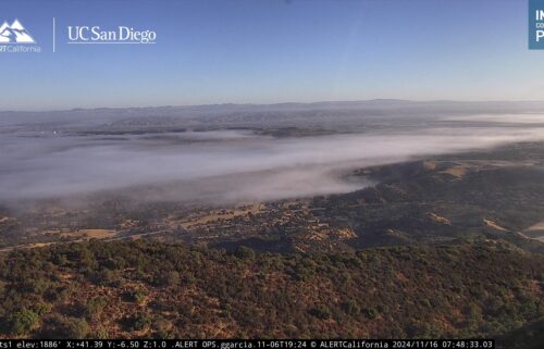
High pressure continues to strengthen to our west with temperatures aloft warming through around Sunday before starting to cool back down. Our mountains and inland areas (especially farther from the coast) will continue to warm day by day. However, the significant warming across the state will set up a low level pressure gradient, pulling the cool, dense ocean air ashore. The strong ridge overhead will keep this layer of air fairly shallow, but it will rush into the valleys every afternoon and may eventually bring some fog/low clouds. As the ridge weakens out of the weekend, the layer will deep a bit, making clouds more likely, a la “May Gray.” It looks like the ridge (or another) will rebuild or at least reorganize for another shot next week. All the while expect seasonable temperatures on the coast but above normal reading inland.
AIR QUALITY: Good to Moderate
Friday: Sunny and warm in the morning, but a southwesterly sea breeze will develop once again—perhaps a touch earlier and stronger, cooling most coastal areas in to the afternoon. The overall air mass warms, so many inland areas will be warmer. Overall, expect coastal highs in the low 60s to mid 70s with mid 70s to upper 80s inland. Cumulus clouds develop over the inland mountains in the afternoon with a slight chance of a brief shower or thunderstorm over southeastern San Benito & Monterey Counties. Breezy onshore and up-valley winds in the afternoon and early evening. Patchy low clouds/fog possible on the coast late.
Overnight: Clear for most locations, with increasing low clouds near the coast becoming partly cloudy. Patchy fog possible toward sunrise. Lows will be in the upper 40s to low 50s for coastal cities, and mainly 40s inland. Winds will remain light.
Saturday: Patchy coastal fog in the morning, then mostly sunny and cooler on the coast with highs in the 60s to low 70s. Mostly sunny inland with a few cumulus clouds over the hills. Slightly cooler in the near coastal valleys but slightly warmer in the far valleys and higher elevations. Inland highs ranging from the low 70s to around 90ºF. Breezy onshore and up-valley winds in the afternoon and early evening.
Sunday (Mother’s Day): AM coastal fog with a few low clouds lingering on the coast in the day. Cooler, with coastal highs in the upper 50s to around 70ºF. Mostly sunny with 70s to low 90s inland. Breezy onshore and up-valley winds in the afternoon and early evening.
Extended: Clouds will be thicker and temperatures cooler on the coast early on in the week and inland areas will begin to cool as well with morning valley clouds through around mid-week. Some warming expected mid to late week both on the coast and inland.
*Note: Any alerts from the National Weather Service in Monterey will be noted in italics above. Alerts may be edited for brevity or local clarification (in parenthesis).
-----------------------------------------------------------------------
This week's normal temperatures:
--COASTAL CITIES--
LOW: 49ºF
HIGH: 65ºF
--INLAND CITIES--
LOW: 45ºF
HIGH: 74ºF
--------------------------------------------------------------------------
-The outlook from the Climate Prediction Center for May 17th – 23rd calls for the likelihood of ABOVE normal temperatures and near normal precipitation.
- ENSO (El Niño/La Niña) STATUS: El Niño Advisory, La Niña Watch
- ENSO Forecast: Transition from El Niño to neutral soon and then to La Niña by summer.
-Area drought status: Currently drought-free


