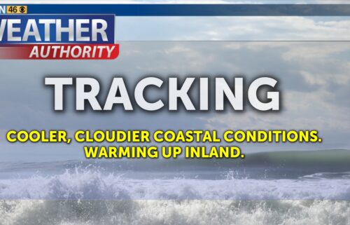
Rinse and Repeat: Coastal Clouds, Inland Sunshine
SALINAS, Calif. (KION) - Not much change in the forecast in the coming days. We’re still leaning toward slightly warmer coastal temperatures as we approach the weekend. The upper level pattern remains quiet with us stuck between distant forces. The marine layer will remain fairly steady in the coming days, though some drier air may make cloudcover a little thinner.
Air Quality: Good
Wednesday: Low clouds will linger on the south/east sides of the bay—though perhaps with a bit less coverage. A few high clouds pass through. Expect coastal highs in the low 60s to mid-70s—warmest on the north side of the bay—and mid-70s to upper 90s inland. Breezy onshore winds becoming windy up valleys late.
Overnight: Low clouds will once again fill the bay and valleys, becoming partly to mostly cloudy. Far interior locations will remain under mostly clear skies. Lows will be slightly cooler, with upper 40s to low 50s, sheltered valleys in the mid 40s. Areas of patchy fog possible, and a chance of drizzle near the coast.
Thursday: Low clouds retreating to the coast after daybreak. Clearing on the north side of the bay but some clouds linger in the south. Expect coastal highs in the low 60s to mid-70s—warmest on the north side of the bay—and mid-70s to upper 90s inland. Breezy onshore winds becoming windy up valleys late.
Extended: Coastal temps will slowly rise into the weekend and while we’ll likely still see nighttime clouds, days will be a little sunnier. Highs will peak on Saturday or Sunday, the drop a bit into early next week. Winds may be a little gustier, however.
------------------------------------------------------------------------
This week's normal temperatures:
--COASTAL CITIES--
LOW: 51ºF
HIGH: 67ºF
--INLAND CITIES--
LOW: 48ºF
HIGH: 78ºF
-------------------------------------------------------------------------
The outlook from the Climate Prediction Center for June 18th – 24th calls for the likelihood of ABOVE normal temperatures and near normal precipitation, though little to no precipitation usually falls this time of year.
- ENSO (El Niño/La Niña) STATUS: Neutral
- ENSO Forecast: Neutral conditions persist through summer & possibly into next winter.
-Area drought status: Abnormally dry for portions of southern San Benito and southeastern Monterey Counties. Drought-free for the remainder of the KION coverage area.
-Monterey Bay Sea Surface Temperature as of June 9th : N/A (avg. of 7 buoys) [Historic June Avg. SST: 56.7ºF]