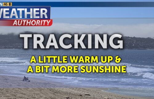
Feels Like a Central Coast June
SALINAS, Calif. (KION) - A cutoff low will travel southwest of us during the day. This will promote some offshore flow aloft along with deeper mixing within the marine layer and could reduce afternoon cloudcover. Low level winds are now looking more southerly into Monday afternoon as well, which would mean for a warmer day in Monterey and a cooler day in Santa Cruz. The marine layer will stabilize a bit more on Tuesday with the low farther to the south—meaning a bit more of a “June Gloom” style day.
Air Quality: Good to Moderate
Monday: Breaking to partly cloudy in the afternoon with breezy southwesterly onshore and up-valley winds. Mostly sunny inland. Expect coastal highs in the low to upper 60s with inland highs ranging from the low 70s to mid-80s.
Overnight: Low clouds will thicken and fill the bay and interior valleys by morning. Becoming partly to mostly cloudy across the region. Patchy fog possible. Lows in the 50s near the coast, 40s to low 50s inland.
Tuesday: Remaining partly to mostly cloudy on the coast and cooler with highs in the upper 50s to upper 60s, but warmer inland under mostly sunny skies and highs in the low 70s to upper 80s. Breezy southwesterly onshore winds becoming windy up valleys late in the day.
Extended: We’ll remain sandwiched between high pressure over the Pacific and troughing over the American West through the end of the week. Expect seasonable to slightly cool temperatures with the daily cycle of coastal clouds. High pressure wins out into the weekend with temperatures expected to warm—especially inland.
------------------------------------------------------------------------
This week's normal temperatures:
--COASTAL CITIES--
LOW: 51ºF
HIGH: 67ºF
--INLAND CITIES--
LOW: 48ºF
HIGH: 78ºF
-------------------------------------------------------------------------
The outlook from the Climate Prediction Center for June 9th – 15th calls for the likelihood of ABOVE normal temperatures and near normal precipitation.
- ENSO (El Niño/La Niña) STATUS: Neutral
- ENSO Forecast: Neutral conditions persist through summer & possibly into next winter.
-Area drought status: Abnormally dry for portions of southern San Benito and southeastern Monterey Counties. Drought-free for the remainder of the KION coverage area.
-Monterey Bay Sea Surface Temperature as of June 1st : 55.1ºF (avg. of 7 buoys) [Historic June Avg. SST: 56.7ºF]