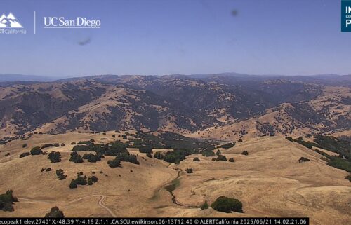
Minor Temperature Swings & Gusty Winds
SALINAS, Calif. (KION) – Temperatures will cool Thursday-Friday as a weak trough passes over the West Coast. By Friday, we should return to seasonal averages, but probably not below. As we transition into a cooler air mass, winds will become gusty over the next couple of days. Clouds will also be on the increase. Still, you can expect pleasant weather to end the work week.
Air Quality: Good to Moderate
Thursday: A few morning low clouds then mostly sunny with high clouds passing through. Cooler with coastal highs in the low 60s to mid-70s—warmest on the north side of the bay—and mid 70s to upper 80s inland. Northwesterly onshore winds becoming windy on the coast and in the valleys.
***GALE WARNING***
... for coastal waters from Coastal Waters from Pigeon Point to Point Pinos California out to 10 NM., until 3am Friday.
... for coastal waters from Coastal Waters from Point Pinos to Point Piedras Blancas California out to 10 NM, until 9pm Friday.
... for the Monterey Bay, until 9pm Thursday.
*West-Northwest winds 15 to 30 kt with gusts up to 45 kt.
*Strong winds will cause hazardous seas which could capsize or damage vessels and reduce visibility.
*Mariners should alter plans to avoid these hazardous conditions. Remain in port, seek safe harbor, alter course, and/or secure the vessel for hazardous conditions.
Overnight: Low clouds will begin to form on the south side of the bay before thickening and becoming widespread into sunrise. Many interior locations will remain mostly clear. Lows will be in the 40s, with a few low 50s near the immediate coast. Winds will be breezy, gusty at times. Areas sheltered from the wind could see patchy fog.
Friday: A few low clouds and patchy fog early in the day, then partly cloudy on the coast and mostly sunny inland. Cooler yet with highs in the upper 50s to low 70s on the coast—warmest on the north side of the bay—and low 70s to mid-80s inland. Northwesterly onshore winds becoming windy on the coast and in the valleys late in the day.
Extended: A short ridge will build back in on Saturday, sending temperatures back upward, but not before a cloudy start for many areas. We may even squeeze out a spritz of drizzle on the south side of the bay. Temps warm further into Sunday then level off. The next trough arrives Tuesday and there may be some chance for precip in the Tuesday/Wednesday timeframe, but it remains a low probability event. Beyond that, inland heat is looking likely again next week.
--------------------------------------------------------------------------
This week's normal temperatures:
--COASTAL CITIES--
LOW: 50ºF
HIGH: 66ºF
--INLAND CITIES--
LOW: 47ºF
HIGH: 76ºF
-------------------------------------------------------------------------
The outlook from the Climate Prediction Center for May 29th – June 4th calls for the likelihood of ABOVE normal temperatures and near normal precipitation.
- ENSO (El Niño/La Niña) STATUS: Neutral
- ENSO Forecast: Neutral conditions persist through summer & possibly into next winter.
-Area drought status: Abnormally dry for portions of southern San Benito and southeastern Monterey Counties. Drought-free for the remainder of the KION coverage area.
-Monterey Bay Sea Surface Temperature as of May 22nd : 55.7ºF (avg. of 7 buoys) [Historic May Avg. SST: 55.8ºF]


