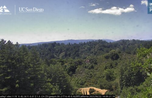
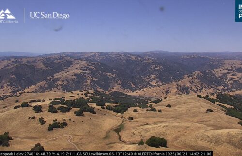
Dry Weather Continues – Where’s the Rain?
Our weather pattern remains blocked up, preventing our typical wet weather systems from reaching the West Coast. Cold mornings, mild afternoons, and extremely dry weather will continue through Thursday before our pattern changes slightly.
Air Quality: Good to Moderate
Wednesday: Sunny and slightly warm in the afternoon with highs in the low to mid-60s for coastal areas and low 60s to around 70ºF for inland valleys. Light offshore winds in the morning, then light onshore winds in the afternoon.
Overnight: Clear and chilly with widespread 30s across the region, 20s for southern valleys, and a few 40s near coast and higher elevations. Frost likely in interior locations. Winds light overall, breezy near valley mouths.
Thursday: Sunny and a touch warmer with highs in the low 60s to around 70ºF on the coast and mid-60s to low 70s for inland valleys. Light offshore winds in the morning, then light onshore winds in the afternoon.
Extended: More regular onshore flow returns on Friday with some low cloudcover/fog possible on the coast. Friday’s highs are likely be slightly below normal and more persistent onshore flow will keep us a little cooler through the weekend. Dry conditions are expected to persist, though there is a weak precipitation signal in the longer term models around January 25th.
*Note: Any alerts from the National Weather Service in Monterey will be noted in italics above. Alerts may be edited for brevity or local clarification
-----------------------------------------------------------------------
This week's normal temperatures:
--COASTAL CITIES--
LOW: 42ºF
HIGH: 60ºF
--INLAND CITIES--
LOW: 37ºF
HIGH: 61ºF
--------------------------------------------------------------------------
-The outlook from the Climate Prediction Center for January 22nd – 28th calls for the likelihood of near normal temperatures and BELOW normal precipitation.
- ENSO (El Niño/La Niña) STATUS: La Niña Advisory
- ENSO Forecast: La Niña persists into spring, then transitions to neutral by summer.
- Area drought status: Abnormally dry for San Benito County, northeastern Monterey County and eastern Santa Clara County. Drought-free elsewhere
- Monterey Bay Sea Surface Temperature as of January 15th : 52.7ºF (avg of 7 buoys) [January Average: 54.7ºF]


