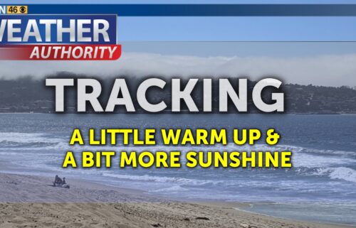
Big Warm-Up
High pressure strengthens over the state early this week, pushing any rain far, far, far away. The associated dome of warm air along with offshore winds will mean much warmer than normal temperatures for all areas through mid-week. The ridge will eventually break down by the end of the week with some cooling starting Thursday/Friday. Two weather systems (one to our north and another to the south) will then converge on the West Coast Sunday. The closer they get to each other, the better the chance for local rain!
Overnight: Clear and just a touch cool with coastal lows in the
upper 30s to mid 40s, 30s for inland valleys, and 40s up in the hills.
Occasional gusty winds over the higher terrain, especially the Santa Cruz
Mountains.
Tuesday: Sunny and warmer with coastal highs in the mid 60s to mid
70s and widespread 70s inland. Occasionally breezy over the hills.
Wednesday: A few passing high
clouds, otherwise sunny and warm. Expect coastal highs in the mid 60s to mid
70s and widespread 70s inland.
Extended: Another similarly warm day on Thursday with slight
cooling starting Friday. Clouds will return Friday into Saturday, with cooler,
breezier conditions on Saturday. Even cooler and breezier on Sunday with the
chance of some light rain.
The outlook from the Climate Prediction Center for March 3th-9th calls
for the likelihood of near normal temperatures and near
normal precipitation.
El Niño/La Niña STATUS: Neutral
Forecast into Summer: Neutral
--------------------------------------------------------------------------
This week's normal temperatures:
--COASTAL CITIES--
LOW: 45ºF
HIGH: 62ºF
--INLAND CITIES--
LOW: 40ºF
HIGH: 65ºF


