Temperature Kiddie Coaster
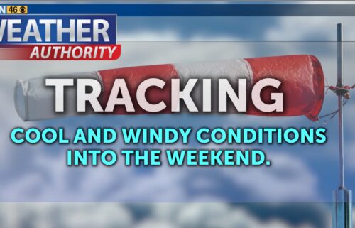
SALINAS, Calif. (KION) - Tuesday is trending sunnier as dry northwest flow continues. That flow could be gusty at times on the exposed coast and in the valleys. Temperatures will remain seasonable on Tuesday before high pressure nudges in from the south Wednesday. Inland areas will jump up 5-10ºF day to day, especially higher in elevation and farther away from the coast.
Air Quality: Good
***GALE WARNING***
…for the near coastal waters from Point Pinos to Point Piedras Blancas extended until 3AM Wednesday.
*Northwest winds 15 to 25 kt with gusts up to 40 kt expected.
*Strong winds will cause hazardous seas which could capsize or damage vessels and reduce visibility.
Mariners should alter plans to avoid these hazardous conditions. Remain in port, seek safe harbor, alter course, and/or secure the vessel for hazardous conditions.
Overnight: Mostly clear with a few low clouds/fog possible on the coast by dawn. Cool, with lows in the 40s for most areas. Breezy northwesterly winds on the exposed coast.
Tuesday: Becoming sunny again from late morning into the afternoon. Gusty northwesterly winds at times. Seasonable, with coastal highs in the low 60s to mid 70s—warmest on the north side of the bay—and low 70s to mid-90s inland. A few low clouds return to the coast late.
Wednesday: Perhaps a few more clouds/fog on the coast in the morning under the compressed marine layer, then becoming mostly sunny. Warmer, with coastal highs in the low 60s to upper 70s—warmest on the north side of the bay—and upper 70s to around 102ºF inland. Breezy on the coast, then windy up valleys late in the day.
Extended: Troughing will develop on the West Coast as we approach the weekend, only to be reinforced by a deeper trough by the weekend. Temps will cool down on Thursday with the marine layer quickly deepening. Clouds will increase; drizzle will be possible. Cooling will continue inland into Friday/Saturday with highs well below normal, though the deepening marine layer may mix out along with drier northwesterly winds bringing warmer coastal temps.
------------------------------------------------------------------------
This week's normal temperatures:
--COASTAL CITIES--
LOW: 52ºF
HIGH: 68ºF
--INLAND CITIES--
LOW: 50ºF
HIGH: 82ºF
-------------------------------------------------------------------------
The outlook from the Climate Prediction Center for June 24th – 30th calls for the likelihood of BELOW normal temperatures and near normal precipitation, though little to no precipitation usually falls this time of year.
- ENSO (El Niño/La Niña) STATUS: Neutral
- ENSO Forecast: Neutral conditions persist through summer & possibly into next winter.
-Area drought status: Abnormally dry for portions of southern San Benito and southeastern Monterey Counties. Drought-free for the remainder of the KION coverage area.
-Monterey Bay Sea Surface Temperature as of June 17th : 56.6ºF (avg. of 7 buoys) [Historic June Avg. SST: 56.7ºF]