Slightly Unsettled
SALINAS, Calif. (KION) – Expect several chance of light rain from Thursday into Friday as a series of weak disturbances pass by. The first will bring light, drizzly rain to the region into Thursday morning with a second coming Thursday afternoon. And then another into Friday morning! Rainfall intensity will remain light and accumulation minor, but wet roads can be expected at times, especially the farther north you live in the Monterey Bay Region. We’ll get a bit of a break on Saturday before another active period begins into next week.
Air Quality: Good
*Beach Hazards Statement*
… in effect through Friday morning for Northern Monterey Bay.
*Long period high northwesterly swell will result in breaking waves between 15 to 20 feet along favored break points.
*Sneaker waves can unexpectedly run significantly farther up the beach than normal, including over rocks and jetties. These waves can suddenly knock people off their feet and quickly pull them into the cold ocean waters, where currents will be stronger than normal. These waves can also carry driftwood logs and other debris.
*Remain out of the water to avoid hazardous swimming conditions.
Overnight: Mostly cloudy with a light, drizzly rain expected, mainly on the coast and into the northern valleys. Light accumulation. Lows in the 50s on the coast with a few 40s for inland valleys, especially in the south.
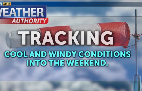
Thursday: Mostly cloudy with a chance for light rain at times, mainly from Monterey Bay northward. Highs in the 50s to mid 60s around the bay and a few upper 60s in the Salinas Valley. Breezy southwesterly onshore winds at times, becoming windy up valleys late in the day.
**HIGH SURF ADVISORY**
… in effect 5am Thursday to 11am Friday for Southern Monterey Bay and Big Sur Coast.
*High Surf Advisory, long period very high northwest swell will result in large breaking waves between 25 to 30 feet on north and west facing beaches.
*Dangerous swimming and surfing conditions and localized beach erosion. Sneaker waves can unexpectedly run significantly farther up the beach than normal, including over rocks and jetties. These waves can suddenly knock people off their feet and quickly pull them into the cold ocean waters, where currents will be stronger than normal. These waves can also carry driftwood logs and other debris.
*Inexperienced swimmers should remain out of the water due to dangerous surf conditions. Remain out of the water to avoid hazardous swimming conditions.
Friday: Mostly cloudy early with periods of light, drizzly rain, then becoming partly cloudy with an isolated shower possible. Continued cool with highs in the 50s-60s. Breezy southwesterly onshore winds becoming northwesterly in the afternoon. Windy up valleys late.
Extended: We’ll get a break on Saturday under mostly sunny to partly cloudy skies and temperatures will be slightly warmer, but still a little cool for this time of year. Rain likely returns on Sunday as the first of several weather systems comes ashore into next week. There is potential for heavier rainfall, but there is also still a lot of model variability.
*Note: Any alerts from the National Weather Service in Monterey will be noted in italics above. Alerts may be edited for brevity or local clarification.
-----------------------------------------------------------------------
This week's normal temperatures:
--COASTAL CITIES--
LOW: 45ºF
HIGH: 63ºF
--INLAND CITIES--
LOW: 41ºF
HIGH: 68ºF
--------------------------------------------------------------------------
-The outlook from the Climate Prediction Center for April 3rd – 9th calls for the likelihood of BELOW normal temperatures and ABOVE normal precipitation.
- ENSO (El Niño/La Niña) STATUS: La Niña Advisory
- ENSO Forecast: Neutral conditions expected by April and then to persist into summer.- Area drought status: Moderate drought for far southeastern Monterey County. Abnormally dry for southeastern Monterey County and eastern San Benito County. Drought-free for the remainder of the KION coverage area. Monterey Bay Sea Surface Temperature as of March 27th: 55.4ºF (avg. of 7 bouys)
[Historic March Avg. SST: 55.3ºF]