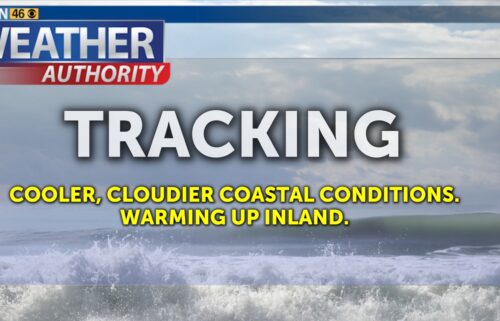
Pattern Change Coming
Expect another cool day on Thursday with a mix of high and low clouds and a stable marine layer. High clouds will increase in advance of a weather system that will finally break through the persistent blocking ridge. The nose of an atmospheric river will arrive on Friday which will bring rain chances to the Monterey Bay Area. The river will remain directed at central & northern California into the early part of next week.
Air Quality: Good to Moderate
Overnight: Low clouds fill in around the bay and into inland valleys. Patchy fog possible inland and in the coastal hills. Light winds. Expect lows in the low to mid-40s on the coast and mid-20s to upper 30s inland.
Thursday: Low clouds linger through late morning with some clearing in the afternoon. High clouds also begin to increase from the west. Light winds. Cool again, with highs in the 50s.
Friday: Mostly cloudy with occasional sprinkles early, then an increasing chance of rain through the afternoon and especially from Monterey Bay northward. Increasing (but not strong) southerly winds. Slightly warmer, with highs in the 50s to low 60s.
Extended: Rain is likely on Saturday with the initial push of the atmospheric river. Winds will pick up as well. We can expect it to buckle slightly northward Sunday/Monday but we’ll remain on the edge of it with mainly light rain chances. It will sweep back through our area with wind & rain around Tuesday.
*Note: Any alerts from the National Weather Service in Monterey will be noted in italics above. Alerts may be edited for brevity or local clarification.
-----------------------------------------------------------------------
This week's normal temperatures:
--COASTAL CITIES--
LOW: 43ºF
HIGH: 61ºF
--INLAND CITIES--
LOW: 38ºF
HIGH: 62ºF
--------------------------------------------------------------------------
-The outlook from the Climate Prediction Center for February 6th – 12th calls for the likelihood of BELOW normal temperatures and ABOVE normal precipitation.
- ENSO (El Niño/La Niña) STATUS: La Niña Advisory
- ENSO Forecast: La Niña persists into spring, then transitions to neutral by summer.
- Area drought status: Abnormally dry across the KION coverage area
- Monterey Bay Sea Surface Temperature as of January 30th : 53.0ºF (avg of 7 buoys) [January Average: 54.7ºF]