Coming Down Off The Heat
Triple digit heat not as widespread Sunday but still expecting temps in the upper 80s and 90s in the interior locations. A Heat Advisory for all of the KION TV viewing area but the immediate coast remains in effect. We've seen a turn to more southerly surface flow which may keep some low clouds/fog on he north/east sides of the bay this afternoon. Otherwise, expect mostly sunny conditions. A gradual cooling trend will begin Monday. July Fourth will be more comfortable inland. The hot and dry conditions will increase fire danger. Use caution and stay safe.
AIR QUALITY: Good
**HEAT ADVISORY**
… for San Benito County, the Santa Cruz Mountains, interior areas of Monterey County, and the KION coverage area of Santa Clara County in effect from 11AM Friday until 11PM Sunday.
*Hot conditions with daytime temperatures ranging from the low 90s to near 105. Overnight lows ranging from 60 to the lower 70s.
*Hot temperatures well above seasonal normals will significantly increase the potential for heat related illnesses, particularly for those working or participating in outdoor activities.
*Being the first major heat event of the season, it is important to remember that people and pets may be more susceptible than usual to heat related illness given the prior extended period of below average temperatures. Hydrate often if working or otherwise spending time outdoors.
Drink plenty of fluids, stay in an air-conditioned room, stay out of the sun, and check up on relatives and neighbors. Young children and pets should never be left unattended in vehicles
under any circumstances.
Take extra precautions if you work or spend time outside. When possible reschedule strenuous activities to early morning or evening. Know the signs and symptoms of heat exhaustion and heat
stroke. Wear lightweight and loose fitting clothing when possible. To reduce risk during outdoor work, the Occupational Safety and Health Administration recommends scheduling frequent rest breaks in shaded or air conditioned environments. Anyone overcome by heat should be moved to a cool and shaded location.
Heat stroke is an emergency! Call 9 1 1.
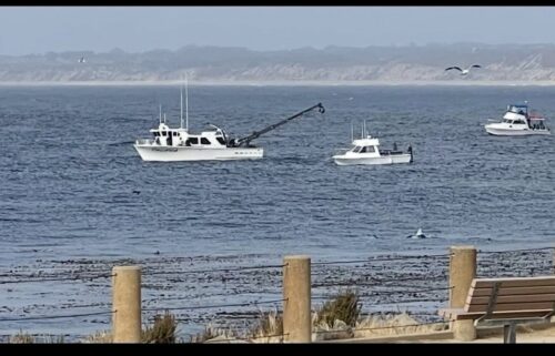
**Beach Hazards**
*For the northern and southern Monterey Bay, and Big Sur Coast
*Saturday morning through Sunday evening
*For rip currents, sneaker waves and cold water temps.
*Conditions can be dangerous for swimmers and surfers
*Never Turn Your Back on the Ocean!
Sneaker waves can occur at any time without warning. It is safest to swim at a beach with lifeguards.
If you are caught in a rip current, don’t try to swim against it. Instead, swim out of the current parallel to the shore, and then back to shore. If you can’t swim, float or tread water, and yell or wave for help if you need assistance.
Sunday: Partly cloudy on the coast with low clouds/fog on the north/east sides of the bay, otherwise mostly sunny. Coastal highs in the 60s-70s with 80s to 100s inland.
Overnight: Foggy on the coast and nearby valleys. Otherwise, mostly clear. Coastal lows upper 50s and 60s and inland ranging from 60s to 70s mostly.
Monday: Pattern changes with a weak trough that will bring slightly cooler weather.
Extended: Staying dry, warm and breezy with coastal clouds and sunshine inland next week with temps dropping to more seasonal conditions. Fourth of July will be more comfortable with 70s and 80s inland.
-------------------------------------------------------------------------
This week's normal temperatures:
--COASTAL CITIES--
LOW: 53ºF
HIGH: 69ºF
--INLAND CITIES--
LOW: 51ºF
HIGH: 85ºF
--------------------------------------------------------------------------
-The outlook from the Climate Prediction Center for July 6th - 12th calls for the likelihood of near normal temperatures and ABOVE normal precipitation. Note: Little to no precipitation typically falls this time of year.
- ENSO (El Niño/La Niña) STATUS: El Niño Advisory
- Forecast: El Niño developing this summer.
-Area drought status: Currently drought-free