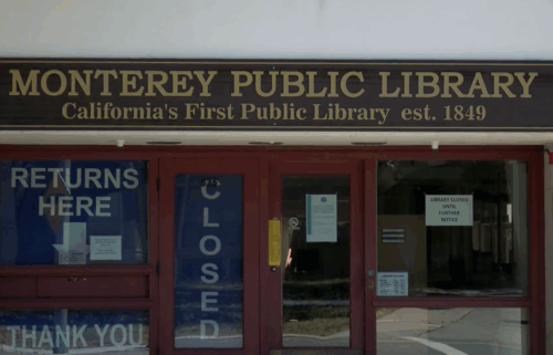
Tsunami Advisory for the Coast of CA Saturday Morning
WEATHER STORY
A cut-off low to the south has been pushing bouts of high clouds, this has changed the weather from day to day. Another wave of thicker cloud cover is expected to creep in from the south on Saturday, as the low tracks slightly north our direction. This wave could give us a few sprinkles at the coast, with a better chance to the south. Precipitation, if any, will remain light and scattered. Once the low moves out, we'll remain in a warm and dry air mass for the next week.
Air Quality: GOOD to MODERATE for most areas
**TSUNAMI ADVISORY**
... in effect for the coastal areas of California, Oregon, Washington, British Columbia and Alaska from the California /Mexico border to attu Alaska.
If you are located in this coastal area, move off the beach and out of harbors and marinas.
Tsunami advisories mean that a tsunami capable of producing strong currents or waves dangerous to persons in or very near the water is expected or is already occurring. Areas in the advisory should not expect widespread inundation. Tsunamis are a series of waves dangerous many hours after initial arrival time. The first wave may not be the largest.
At 8:27 PM Pacific Standard Time on January 14th an earthquake with preliminary magnitude 1.0 occurred
near the Tonga Islands.
Estimated tsunami start times for selected sites are;
- Monterey California 740 AM. PST. January 15th.
- San Francisco California 810 AM. PST. January 15th.
The tsunami advisory will remain in effect until further notice. Refer to the internet site tsunami.gov for more information.
Saturday: Clouds will become more dominant and light showers are possible along the coast especially for the Big Sur area, south. Winds will also increase for the immediate coastline with gusts up to 20mph before calming down into the evening. Temperatures will remain similar from the day before, mostly 60s.
Sunday: Clouds should start to clear, gradually. By the afternoon expect mostly sunny skies. Temperatures will warm slightly, widespread 60s.
Extended: Temperatures will cool a bit but should remain above normal through most of next week. High clouds will continue to stream in at the beginning of the workweek. By Tuesday though, clouds will clear leaving the rest of the week wide-open for mostly sunny skies and warmer temperatures. Next weekend, we could see temperatures back in the 70s.
-------------------------------------------------------------------------
This week's normal temperatures:
--COASTAL CITIES--
LOW: 43ºF
HIGH: 61ºF
--INLAND CITIES--
LOW: 38ºF
HIGH: 62ºF
----------------------------------------------------------------------------
-The outlook from the Climate Prediction Center for January 22nd - 28th calls for the likelihood of ABOVE normal temperatures and BELOW normal precipitation.
- El Niño/La Niña STATUS: La Niña Advisory
- Forecast into Winter: Weak La Niña
-Area drought status: “Severe Drought” for most of the viewing area southern Monterey County now reduced to “Moderate Drought”