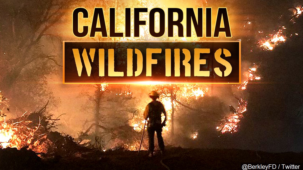
Dangerous Fire Conditions Ahead

A dry, cold air mass will then surge down through the state Sunday morning. Gusty winds are likely over the northern mountains early on Sunday as this air mass arrives. Flow will flip back offshore Sunday behind that system, which will actually warm coastal areas back up will inland cities continue to cool. Offshore flow will continue on Monday, but all things will moderate into next week… calmer winds, milder temperatures, and increased humidity.
***RED FLAG WARNING***
The National Weather Service has issued a Red Flag Warning for the SANTA CRUZ MOUNTAINS above 1, 000ft and the SAN MATEO COASTLINE, which is in effect from 3 AM Sunday to 11 AM PDT Monday. The Fire Weather Watch has been upgraded.
Strong north to northeast winds will develop through Saturday night into Sunday, peaking early Sunday morning. Sustained wind speeds of 15 to 30 mph with gusts 35 to 55 mph are possible. Winds gradually weaken from Sunday morning through Monday morning, but will remain locally gusty into early Monday.
Critically low daytime humidity with poor overnight recoveries.
Mountains/Hills
Sat Night: 25-35%
Sun Day: 15-25%
Sun Night: 20-35%
Mon Day: 15-30%
Valleys/Coast
Sat Night: 45-60%
Sun Day: 20-40%
Sun Night: 25-45%
Mon Day: 20-35%
Highway 1 corridor from south of Pacifica to near Davenport including Half Moon Bay and coastal areas east of Highway 1, and Santa Cruz mountains above 1500 feet including locations along Highway 9 and 92.
A red flag warning is also in effect for the DIABLO RANGE in Santa Clara County from 8 PM Saturday to 11 AM PDT Monday. The Fire Weather Watch there has been upgraded as well.
Critically low daytime humidity with poor overnight recoveries. Locally lower humidity values are possible.
Sat Night: 15-35%
Sun Day: 10-20%
Sun Night: 10-25%
Mon Day: 10-20%
Strong and dangerous north to northeast winds are forecast Saturday night into Sunday morning. Winds are expected to reach the lower elevations particularly by Sunday morning and through the day Sunday. Offshore winds weaken but remain locally gusty Sunday night into Monday.
Mountains/Hills
Sat Night: Sustained 30 -55mph Gusts 60 -80mph
Sun Day: Sustained 20 -35mph Gusts 40 -60mph
Sun Night: Sustained 15 -25mph Gusts 25 -40mph
Mon Day: Sustained 5 -15mph Gusts 15 -25mph
Any fires that develop will likely spread rapidly.
Strongest winds late Saturday night into Sunday morning. Winds gradually weaken through Sunday into Sunday night but remain locally gusty into Monday morning.
A Red Flag Warning means that critical fire weather conditions are either occurring now…or will shortly. A combination of strong winds…low relative humidity…and warm temperatures can
contribute to extreme fire behavior.
*Wind Advisory*
The SANTA CRUZ MOUNTAINS and DIABLO RANGE are also under a Wind Advisory. See the Red Flag Warnings above for wind speeds and timing.
Gusty winds could blow around unsecured objects. Tree limbs could be blown down and a few power outages may result. Rapid fire growth potential.
Sunday: Gusty offshore winds greet us on Sunday, ushering in a bone-dry air mass from the north. Fire danger will increase! Those offshore winds will warm coastal areas into the 70s and but inland areas will continue cooling down into the 70s as well. Skies remain clear outside of any smoke drifting through.
Extended: Winds ease Monday, but will remain lightly offshore, keeping temperatures mild. Much more seasonable weather expected by mid-week. Rain remains a fantasy at this point…
The outlook from the Climate Prediction Center for November 2nd – 8th calls for the likelihood of ABOVE normal temperatures and BELOW normal precipitation.
El Niño /La Niña STATUS: Neutral
(Winter) Forecast: Neutral
————————————————————————–
This week’s normal temperatures:
–COASTAL CITIES–
LOW: 49ºF HIGH: 69ºF
–INLAND CITIES–
LOW: 44ºF HIGH: 77ºF
KION 2018
