Cold Frosty Nights!
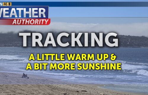
Warm days, cold nights. A cool, dry air mass will remain in place through the weekend. We’ll be stuck between high pressure to our west and a cold trough to our east which will keep us in northerly (offshore) flow. Mornings will be cold, but afternoons will be seasonably warm at times. The ridge will break down by mid-week next week, opening up the door for more active weather.
AIR QUALITY: Good
*Beach Hazards*
From the National Weather Service in Monterey in effect from Friday evening through Sunday morning for the immediate coastline of Santa Cruz & Monterey Counties.
*Increased threat of sneaker waves expected.
*Large, unexpected waves can sweep across the beach without warning, sweeping people into the sea from rocks, jetties, and beaches. These sneaker waves can also move large objects such as logs, crushing anyone caught underneath.
*Sneaker wave threat will be highest for west to northwest facing beaches. In addition to the sneaker wave threat, high astronomical tides are also expected this weekend, which can cause further runup along the beaches.
Don't be fooled by an ocean that looks calm. There can be 30 minutes of small waves between larger sets of waves. Avoid rocks and jetties. Avoid steep beaches. Stay much farther back from the water and never turn your back on the ocean.
Overnight: Clear skies with chilly lows in the 30s and 40s near the coast, 20s and 30s inland. Frost likely for interior valleys and mountains, patchy frost possible near the coast. Winds will remain light.
***FREEZE WARNING***
From the National Weather Service in Monterey in effect from 10PM Friday through 10AM Saturday for the higher and southern valleys of San Benito and Monterey Counties
*Sub-freezing temperatures as low as 29 expected.
*Frost and freeze conditions will kill crops, other sensitive vegetation and possibly damage unprotected outdoor plumbing.
Take steps now to protect tender plants from the cold. To prevent freezing and possible bursting of outdoor water pipes they should be wrapped, drained, or allowed to drip slowly. Those that have in-ground sprinkler systems should drain them and cover above-ground pipes to protect them from freezing.
Saturday: Cold in the morning with frost for inland valleys and perhaps isolated areas of patchy frost near the coast. Sunny and seasonable with highs mainly in the 60s during the afternoon.
**FREEZE WATCH**
From the National Weather Service in Monterey in effect from Saturday Evening through Sunday Morning for the higher and southern valleys of San Benito and Monterey Counties
*For the Freeze Watch, sub- freezing temperatures as low as 27 possible.
*Frost and freeze conditions will kill crops, other sensitive vegetation and possibly damage unprotected outdoor plumbing.
*These temperatures will be hazardous to vulnerable populations.
Take steps now to protect tender plants from the cold. To prevent freezing and possible bursting of outdoor water pipes they should be wrapped, drained, or allowed to drip slowly. Those that have in-ground sprinkler systems should drain them and cover above- ground pipes to protect them from freezing.
Sunday: AM frost possible with chilly morning temps then mostly sunny for the afternoon with highs mainly in the low to mid 60s.
Extended: Sunshine through Monday and Tuesday with chilly nights and mild to warm afternoons. A few more clouds expected with a chance of rain by Wednesday as a system approaches from the northwest. There is a slight chance for rain thru Friday with more unsettled weather and the overall pattern is looking more active thereafter.
-------------------------------------------------------------------------
This week's normal temperatures:
--COASTAL CITIES--
LOW: 45ºF
HIGH: 63ºF
--INLAND CITIES--
LOW: 39ºF
HIGH: 66ºF
--------------------------------------------------------------------------
-The outlook from the Climate Prediction Center for December 1st – 7th calls for the likelihood of ABOVE normal temperatures and ABOVE normal precipitation.
- ENSO (El Niño/La Niña) STATUS: El Niño Advisory
- ENSO Forecast: Strong to Very Strong El Niño expected this winter.
-Area drought status: Currently drought-free