Stable Pattern Through Early Week
WEATHER STORY
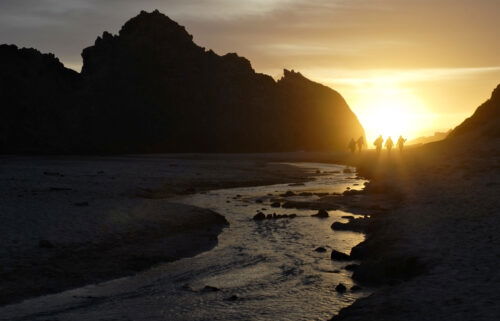
While a couple of fires have sprung up in the Golden State recently, fire danger at home will remain somewhat on the low side for the next few days. This is to say that we should expect to continue to see a deep marine layer with mild to cool temperatures at the coast, meanwhile inland will still be windy but not quite as hot. Day to day highs will see very little change up to about Wednesday, after which things will start to get a bit warmer toward next weekend. With that said, monsoon moisture will stream by on Tuesday affording us a slight chance of thunderstorms.
AIR QUALITY: GOOD
Sunday: Low clouds linger on the coast throughout the day with highs in the 60s to low 70s at best. Under full sunshine inland, expect highs to range from the 70s to 90s. Winds pick up for inland valleys in the afternoon/evening.
Overnight: Widespread low clouds for the coast and inland valleys. Patchy fog & drizzle possible. Lows mainly in the 50s.
Monday: Changes to the forecast will be extremely minimal. Clouds linger at the coast into the afternoon with highs topping out in the 60s to low 70s, while inland will be sunny and a tad windy with highs in the 80s to 90s.
Extended: Watching for monsoon moisture to come into the region on Tuesday.
-------------------------------------------------------------------------
This week's normal temperature
--COASTAL CITIES--
LOW: 55ºF
HIGH: 69ºF
--INLAND CITIES--
LOW: 53ºF
HIGH: 86ºF
----------------------------------------------------------------------------
-The outlook from the Climate Prediction Center for July 28th – August 3rd calls for the likelihood of ABOVE normal temperatures and near normal* precipitation.
*Note: Little to no precipitation typically falls this time of year.
- El Niño/La Niña STATUS: La Niña Advisory
- Forecast: Weak La Niña into the Fall
-Area drought status: “Severe Drought” for most of the viewing area with “Extreme Drought” in southern San Benito and southeastern Monterey Counties. The southeastern third of San Benito County has been upgraded to “Exceptional Drought”