Heat Is On
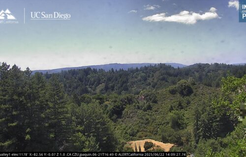
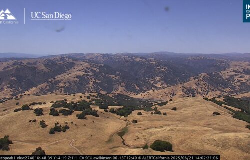
Intense heat arriving at the Central Coast today with peak heat Tuesday and Wednesday. A strong ridge of high pressure builds in from the west-northwest as we head into the work week. Clockwise flow around the high is turning our winds offshore for the next few days. That, in combination with the unseasonably warm air mass associated with the high will make for hot conditions both inland and to the coast for the next three or possibly more days. In fact, latest models are trending hotter and for a longer duration.
AIR QUALITY: Good to Moderate
***EXCESSIVE HEAT WARNING***
…for the Santa Cruz Mountains, Santa Clara County, and the Santa Lucias/Los Padres in Monterey County in effect until 11PM Wednesday.
*Dangerously hot conditions with temperatures up to 108 and overnight lows ranging from the lower 70s to lower 80s.
*Extreme heat will significantly increase the potential for heat related illnesses, particularly for those working or participating in outdoor activities.
Drink plenty of fluids, stay in an air-conditioned room, stay out of the sun, and check up on relatives and neighbors. Young children and pets should never be left unattended in vehicles under any circumstances.
Take extra precautions if you work or spend time outside. When possible, reschedule strenuous activities to early morning or evening. Know the signs and symptoms of heat exhaustion and heat stroke. Wear lightweight and loose-fitting clothing when possible. To reduce risk during outdoor work, the Occupational Safety and Health Administration recommends scheduling frequent rest breaks in shaded or air-conditioned environments. Anyone overcome by heat should be moved to a cool and shaded location.
Heat stroke is an emergency! Call 9 1 1.
**HEAT ADVISORY**
…in effect from 11AM Monday until 11PM Wednesday for…
… coastal areas of Monterey & Santa Cruz Counties where temperatures up to 93ºF are expected…
… and for inland mountains and valleys Monterey County and San Benito County where temperatures up to 105ºF are expected.
*Hot temperatures may cause heat illnesses to occur. Moderate to major heat risk throughout this period.
Drink plenty of fluids, stay in an air-conditioned room, stay out of the sun, and check up on relatives and neighbors. Young children and pets should never be left unattended in vehicles under any circumstances.
Take extra precautions if you work or spend time outside. When possible, reschedule strenuous activities to early morning or evening. Know the signs and symptoms of heat exhaustion and heat stroke. Wear lightweight and loose-fitting clothing when possible. To reduce risk during outdoor work, the Occupational Safety and Health Administration recommends scheduling frequent rest breaks in shaded or air-conditioned environments. Anyone overcome by heat should be moved to a cool and shaded location.
Heat stroke is an emergency! Call 9 1 1.
Today: Sunny and hot with coastal highs in the mid-70s to mid-90s and mid-90s to around 102ºF inland.
Overnight: Clear skies and staying milder. Lows in upper 50s to low 60s and warmer inland mid 60s to low 70s in areas.
Tuesday: Sunny and hotter with coastal highs in the 80s to around 100ºF and widespread upper 90s to around 107ºF inland.
Extended: Some models are now showing the heat peaking Wednesday then lingering while only slightly cooling down through the end of the week. We’ll probably see an attempt or two for a more robust onshore flow at the coast hold off until the weekend now.
*FIRE WEATHER WATCH*
… in effect for the Santa Lucia Range/Los Padres National Forest and the southern valleys of Monterey County in effect from 6AM Wednesday through 8PM Thursday for gusty offshore winds and low humidity
Gusty north-northeast winds are expected to develop Wednesday and last into Thursday across interior portions of Monterey County, including the Santa Lucia, Los Padres National Forest, and the southern Salinas Valley. A dry airmass already in place will be subject to these gusty offshore winds of 20-30 mph, promoting further drying with daytime minimum humidity as low as 10%. Poor overnight recovery will also be a factor, with maximum RH in the 15-30% range each Wednesday and Thursday mornings. The strongest winds are expected to be Wednesday evening overnight into Thursday morning.
* WINDS...North 10 to 20 mph with gusts up to 30 mph.
* RELATIVE HUMIDITY...As low as 10 percent.
* TEMPERATURES...Up to 106.
* LIGHTNING...None.
*IMPACTS...The combination of gusty winds and low humidity can cause fire to rapidly grow in size and intensity. Outdoor burning is not recommended.
A Fire Weather Watch means that critical fire weather conditions are forecast to occur. Listen for later forecasts and possible Red Flag Warnings.
*Note: Any alerts from the National Weather Service in Monterey will be noted in italics above. Alerts may be edited for brevity or local clarification
-----------------------------------------------------------------------
This week's normal temperatures:
--COASTAL CITIES--
LOW: 52ºF
HIGH: 71ºF
--INLAND CITIES--
LOW: 48ºF
HIGH: 81ºF
--------------------------------------------------------------------------
-The outlook from the Climate Prediction Center for October 7th – 13th calls for the likelihood of ABOVE normal temperatures and near normal precipitation.
- ENSO (El Niño/La Niña) STATUS: La Niña Watch
- ENSO Forecast: Transition to La Niña into the fall and persist through the winter months.
- Area drought status: Abnormally dry for areas around Monterey Bay northward. Drought-free elsewhere.
- Monterey Bay Sea Surface Temperature* as of September 30th : 58.7ºF
(Historic Sep AVG near Monterey: 59.6ºF) -- *average of 7 buoys