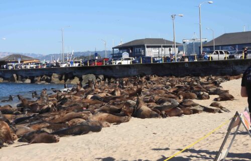
Dry Week Ahead
A weak upper-level low will continue its southward trek as we head into Tuesday. As it passes to our south, the strengthening ridge to our north will help initiate offshore winds across the state. While these winds will not be strong locally, an even dryer air mass will move in. The result of this will be continued clear, cold nights, but sunny, warmer afternoons. Surface winds switch back onshore Thursday, cooling coastal areas, but inland areas will remain warm. Into the weekend, everything will kind of even out with seasonable highs and cool lows. Some models are indicating a trough digging a little deeper into the state early next week which may mean some rain. Stay tuned to my forecast.
AIR QUALITY: GOOD
Overnight: Mostly clear with a few thin high clouds moving through and some low cloudcover brushing the outer coast. Cool, with lows in the mid 30s to low 40s on the coast and upper 20s to upper 30s inland. Frost likely for higher inland valleys.
Tuesday: Sunny and warmer with highs in the mid to upper 60s for most areas. Light offshore winds in the morning, then a light sea breeze in the afternoon.
Wednesday: Offshore winds continue in the hills overnight, but will not be strong. Otherwise, expect clear, cold conditions with frost for inland valleys. Lows in the mid 30s to low 40s on the coast and upper 20s to upper 30s inland.
Extended: Coastal highs will cool Thursday, but inland highs will remain slightly above normal for this time of year. Low temperatures will remain below normal into the weekend. Watching for rain chances early next week.
-------------------------------------------------------------------------
This week's normal temperatures:
--COASTAL CITIES--
LOW: 45ºF
HIGH: 65ºF
--INLAND CITIES--
LOW: 41ºF
HIGH: 68ºF
----------------------------------------------------------------------------
-The outlook from the Climate Prediction Center for November 22nd – 28th calls for the likelihood of ABOVE normal temperatures and ABOVE normal precipitation.
- El Niño/La Niña STATUS: La Niña Advisory
- Forecast: Weak La Niña into the Winter
-Area drought status: “Severe Drought” for most of the viewing area with “Extreme Drought” in southern San Benito and southeastern Monterey Counties. The southeastern third of San Benito County has been upgraded to “Exceptional Drought”


