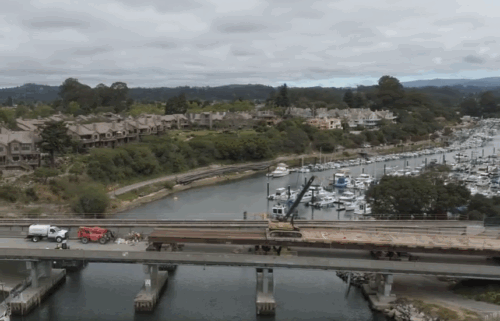
Out With the Old, In With the Cold for 2022
AIR QUALITY:
GOOD to MODERATE for all reporting stations
WEATHER STORY
Rain is in the rear view in the short term as we start the new year on a cool but dry note. A weak weather system will bring a reinforcing blow of cool, dry air on Friday which will lead to frigid mornings on Saturday and Sunday. Frost is likely inland and will be patchy all the way to the coast. The next weather system arrives on Tuesday, but is looks very weak at the moment. Temperatures will warm up next week.
Friday: Becoming mostly sunny with breezy northerly winds. Cool & dry with highs in the 50s for most areas and 40s up in the hills. Winds could get gusty at times on the exposed coast. New Year’s Eve revelers will want to bundle up as temperatures will drop rapidly once the sun sets.
Overnight: Brrrrr! A cold start to 2022. Temperatures for inland spots drop down into low 30s and even 20s at times, while even coastal areas shouldn't see lows higher than mid 30s. Dress appropriately especially if you are celebrating outdoors as most hypothermia-related deaths occur under the influence of alcohol.
Saturday: Cold in the morning with frost likely for inland valleys and patchy at the coast. Mostly sunny and cool with highs in the upper 40s to low 50s for most areas.
Sunday: Another similarly cold and frosty morning. Some inland areas may even be a couple of degrees cooler than on Saturday. Then, mostly sunny and a touch warmer with highs in the 50s.
Extended: Clouds increase on Monday ahead of Tuesday’s weak system. Only light rain (at best) is currently expected. Highs return to the 60s for most areas next week.
-------------------------------------------------------------------------
This week's normal temperatures:
--COASTAL CITIES--
LOW: 42ºF
HIGH: 60ºF
--INLAND CITIES--
LOW: 37ºF
HIGH: 61ºF
----------------------------------------------------------------------------
-The outlook from the Climate Prediction Center for January 7th- 13th calls for the likelihood of near normal temperatures and near normal precipitation.
- El Niño/La Niña STATUS: La Niña Advisory
- Forecast into Winter: Weak La Niña
-Area drought status: “Severe Drought” for the entire viewing area with the far southeastern corner of Monterey County and far eastern San Benito County considered “Extreme Drought”


