Fire crews continue to work on Willow Fire
LOS PADRES NATIONAL FOREST, Calif. (KION) --
UPDATE: 6/21/2021 - 9:00 a.m.
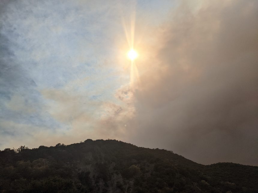
The Willow Fire continues to burn in the Los Padres National Forest in Southern Monterey County. Currently, the Willow Fire is burning 2,392 acres and is 0% contained.
Fire officials say the fire is heading eastward towards the Arroyo Seco campground, an area many firefighters have been using as a prep area.
This is a developing story. Check back for updates.
ORIGINAL ARTICLE: 6/20/2021 - 9:54 a.m.
Fire crews are continuing to fight the Willow Fire burning in the Los Padres National Forest. /
Amanda Munsey, the PIO for Incident Management Team 11, says their teams are working on gathering more information on the fire as they have taken over the incident today.
Yesterday, the fire was burning at 2,066 acres with 0% containment.
Fighting fire with fire, that's what Brian Rogers and the rest of the crew at King City are currently doing. The treacherous nature of the Willow Fire leaves one of their primary strategies to rely on attacking the fire from above.
Because of the fact, that it is really inaccessible terrain, aircraft are relied upon heavily in scenarios like this where it takes ground crews a lot longer to get there so we've been attacking the fire with retardant, a fixed-wing aircraft, and then a rotor-wing aircraft, dropping water along the fire's edge," said Brian Rogers, who's helping gather information to fight the fire.
Attacking the fire isn't the only challenge these aircraft are used for, they are also used to identify heli spots or places that aircraft can land and transport firefighters directly to the fire, rather than rely on engines and trucks," said Brian Rogers.
"We find a suitable landing zone for the helicopters near the fire because it's so remote that they can't drive to it and fly firefighters from one place to that location adjacent to the fire so that they can walk there," said Rogers.
The Cobra, one of the aircrafts gathers crucial information including perimeter maps that show where the fires edges are, hotspots, and weaknesses of the fire, where it could potentially spread to send ground crew to areas needed the most.
"That's kind of the goal, to identify those timely and then attack them," said Rogers.
The official cause of the fire is unknown and is currently being investigated.


