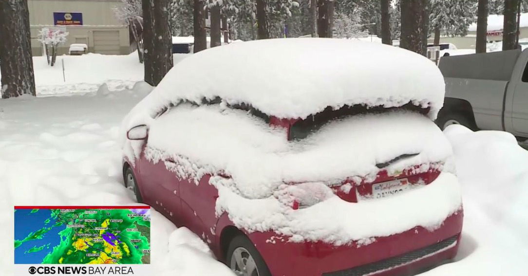
‘Travel is highly discouraged;’ Wintry blast set to create havoc in Sierra

With as much as seven feet of new snow expected over the next 72 hours
By KPIX Staff
Click here for updates on this story
TRUCKEE, California (KPIX) — With as much as seven feet of new snow expected over the next 72 hours, the California Highway Patrol and National Weather Service on Monday warned travelers to stay away from the Sierra.
The weather service has issued a blizzard warning for a wide swath of the mountainous region including the Lake Tahoe area until early Wednesday morning.
An avalanche warning had also been issued as strong winds and the rapid accumulation of snow will create dangerous and deadly conditions.
On Monday, U.S. 395 from Lee Vining to Bridgeport was already shut down due to several avalanches.
“Large avalanches could occur in a variety of areas,” the weather service warned.
The blinding blizzard conditions will also make travel on mountain passes along U.S Highway 50 and Interstate Highway 80 nearly impossible.
“If you are planning to risk traveling over Donner Summit the next couple days expect dangerous travel conditions,” CHP Truckee posted on Facebook. “Expect long delays, high winds, zero visibility, and road closures…Travel is highly discouraged.”
I-80 was officially closed in both directions as of late Monday morning. The closures are eastbound at Applegate and westbound at the Nevada State line. There was no estimated time to reopen the freeway.
With winds topping 60 mph, the light and fluffy snow was whipping into massive drifts.
“During the periods of heavier snowfall, snowfall rates could still exceed 2-3″/hr for a time during these more intense accumulation periods,” the weather service said. “The colder nature of this storm will bring a lighter/fluffier variety of snow consistent with 15:1 snow ratios.”
After years of drought, the Sierra has had an overabundance of snow this year. Many areas at the higher elevations have already gotten more than 34 feet of snowfall since the beginning of winter.
At the UC Sierra Snow Lab near Donner Summit, researchers have recorded more than 36.9 feet of snow and are within striking distance of the 48 feet accumulated in the epic snow year of 2017.
The cold air mass stalled over the mountain range will also result in sub-zero wind chills across the Sierra through Wednesday.
After a brief two-day respite, stormy weather was set to return to the Sierra over the weekend.
“The quiet pattern won’t last long as another system will be knocking on the door,” forecasters said. This next wave could move through the region as early as midday Saturday. ”
Please note: This content carries a strict local market embargo. If you share the same market as the contributor of this article, you may not use it on any platform.
