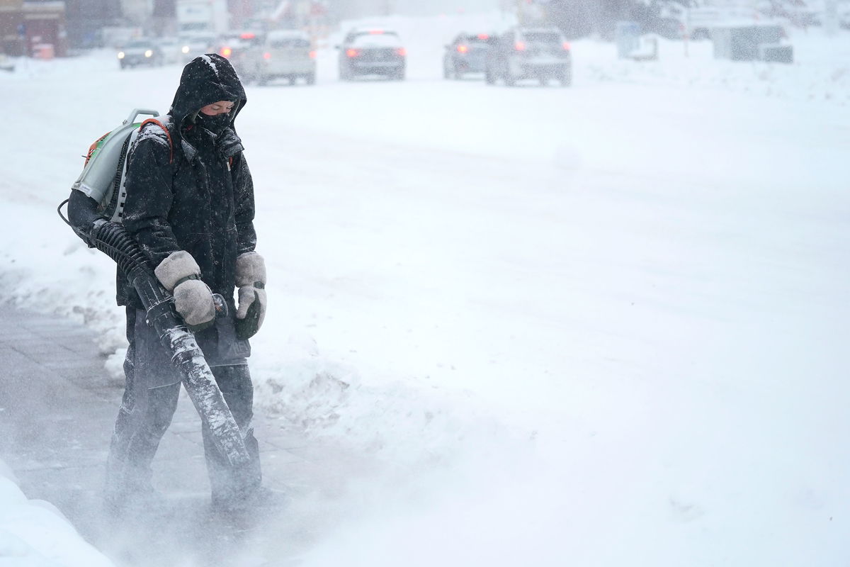
What to know about the polar plunge and bomb cyclone

For millions of Americans across a large swath of the country
By Dave Hennen, CNN
The developing bomb cyclone could cripple travel in the Midwest on some of the busiest travel days of the year.
Welcome to winter! It officially begins at 4:48 p.m. ET Wednesday.
Here’s what to know about the storm:
- This stormy pattern is touching nearly every state. There is currently a winter, wind chill, freeze, coastal, or wind alert in 44 of the lower forty-eight states.
- The most widespread weather hazard over the next few days will be the dangerous cold. Wind chill alerts are in effect for more than 25 states stretching continuously from the Texas Gulf Coast to the US-Canadian border. The wind chill Wednesday night could drop to minus 70 degrees in parts of Wyoming, a low reading rarely seen in the US.
- Denver is warning about the “life-threatening” cold. Temperatures will plummet by as much as 60 degrees. The high-temperature Thursday is expected to stay below zero and likely the coldest day in over 30 years.
- An incredible 60 million Americans, or nearly 20% of the US population, will experience a below-zero temperature with this arctic blast. This includes cities like Denver, Chicago, Kansas City, St Louis, Minneapolis and Chicago.
- The developing bomb cyclone is expected to reach its peak intensity in the US as it tracks across the Great Lakes on Friday morning. The atmospheric pressure will drop to the equivalent pressure seen in a Category 2 hurricane. We usually only see this in strong nor’easters, not in inland storms. The National Weather Service in Buffalo is calling this storm a “once in a generation type event.”
- Snow will start in Chicago around noon tomorrow lasting into Friday morning. Several inches of snow, combined with wind gusts of 50-60 mph could lead to the first blizzard warning in Chicago in over four years.
- The Arctic front will push south into the Gulf of Mexico and sweep off the Eastern Seaboard by late Friday, bringing cold into the Deep South. Houston will spend nearly two days below freezing from Thursday evening to Saturday afternoon. The normal high this time of year in Houston is 64 degrees. Atlanta’s forecast high on Saturday is 25, which would be the coldest on record for a Christmas Eve.
The-CNN-Wire
™ & © 2023 Cable News Network, Inc., a Warner Bros. Discovery Company. All rights reserved.